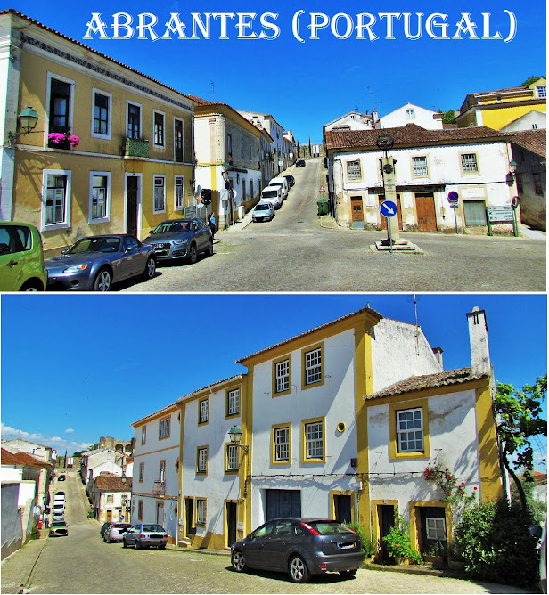
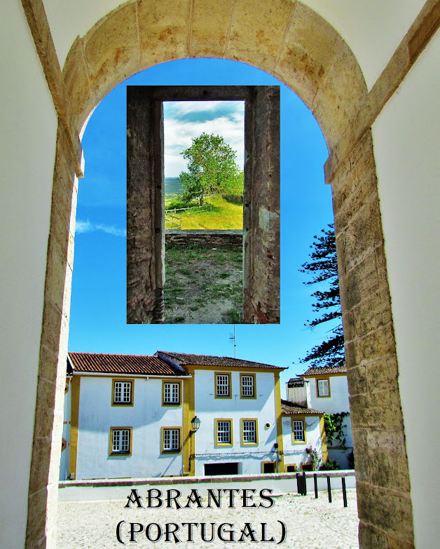
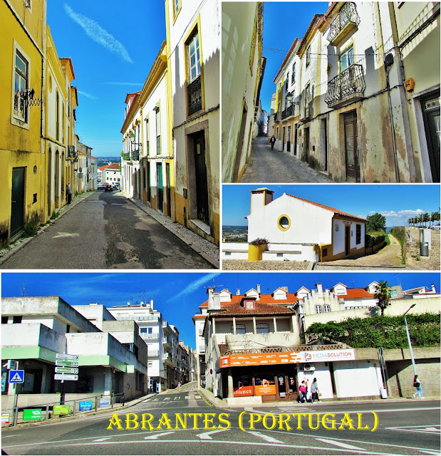
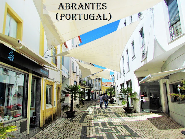
ABRANTES
N 39.464443; W 8.195286
It is the seat of a municipality with an area of 714.69 km² and 39 325 inhabitants (2011), subdivided into 13 parishes. The demographic density is 55.02 inhabitants / km². The municipality is limited to the north by the municipalities of Vila de Rei, Sardoal and Mação, to the east by Gavião, to the south by Ponte de Sor, and to the west by Chamusca, Constância, Vila Nova da Barquinha, and Tomar.
The city of Abrantes rises on a hill on the right bank of the Tagus River, at an average altitude of 100 meters, dominating the entire valley from the west of Belver, in the municipality of Gavião, to the municipality of Constância. The city is connected to the left bank of the Tagus River by a road bridge and a railway bridge. The road bridge is a fundamental link between the northern part of the municipality of Abrantes, located on the right bank of the river, and the southern part, on the left bank.
The city of Abrantes is a commercial and industrial hub of the fertile adjacent agricultural region. It has a metallurgical and metal-mechanic industry of national importance, such as Mitsubishi Fuso Truck Europe.
In Abrantes is located Tejo-Energia, with a thermoelectric plant in Pego, being the largest company in the Santarém district.
The city of Abrantes breathes history. In the castle/fortress of Abrantes, one of the important elements of military architecture, one can observe the rare 360º panoramic view over the heath and visit the D. Lopo de Almeida Museum, installed in the Church of Sta. Maria do Castelo (Pantheon of Almeidas , since the 16th century).
Next to the Tagus, visit ParqueTejo, which, in addition to the camping and caravanning skills, is also an interpretative space of the river with scientific activities related to water and the environment. The Great Route “Caminho do Tejo” shows the strategic importance of the Tagus River, whose patrimonial wealth is materialized through the archaeological stations found on the way, such as the “pegões” of Alvega or the Alfanzira Canal.
In Castelo do Bode Albufeira, visit the river beaches in Fontes and Aldeia do Mato, venture into the cable park and practice wakeboarding and, along its banks, you can travel on the Grande Rota do Zêzere a 54.7 km stretch starting in Matagosa.
💓💓💓💓💓
SEARCH IN ALPHABETICAL ORDER
IN THE DISTRICT OF SANTARÉM


