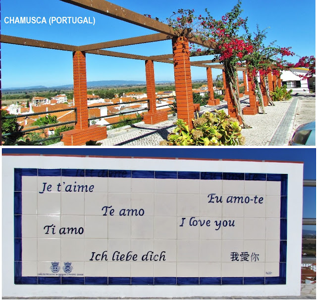
CHAMUSCA
GPS: N 39.36081; W 8.48145
It is the seat of a municipality with 746.01 km² of area and 10 120 inhabitants (2011), subdivided into the following parishes: Chamusca, Pinheiro Grande, Vale de Cavalos, Ulme, Semideiro, Parreira, Carregueira and Arripiado. The municipality is limited to the north by the municipality of Vila Nova da Barquinha, to the east by Constância and Abrantes, to the southeast by Ponte de Sor, to the south by Coruche, to the west by Almeirim, Alpiarça and Santarém and to the northwest by Golegã.
Chamusca was considered in 2018 one of the 15 most polluted locations in Portugal in terms of inhalable fine particles with 11 micrograms per cubic meter when the maximum limit recommended by the World Health Organization is 10 micrograms per cubic meter. In 2018, polluting discharges were also detected in the Descobertas stream located in the municipality.
💓💓💓💓💓
SEARCH IN ALPHABETICAL ORDER
IN THE DISTRICT OF SANTARÉM


