
CARTAXO
39.16179º N, 8.78887º W
Cartaxo is a Portuguese city in the district of Santarém, in Ribatejo, with about 10,700 inhabitants.
With 148 inhabitants/km², it is the city with the highest population density in the Alentejo.
It is the seat of the municipality of Cartaxo with an area of 158.17 km² and 24 462 inhabitants (2011), divided into 6 parishes (Cartaxo and Vale da Pinta; Ereira and Lapa; Pontével; Valada; Vale da Pedra; Vila Chã de Ourique) .
The municipality is limited to the north by the municipality of Santarém, to the east by Almeirim, to the southeast by Salvaterra de Magos and to the west by Azambuja. It is 65 km from Lisbon and 13 km from Santarem.
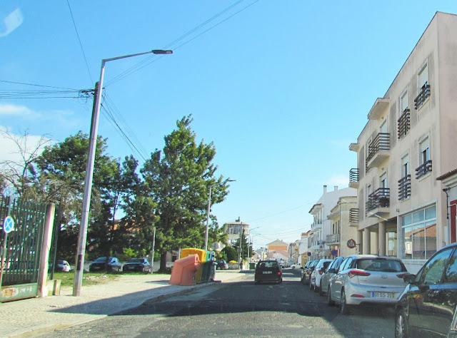
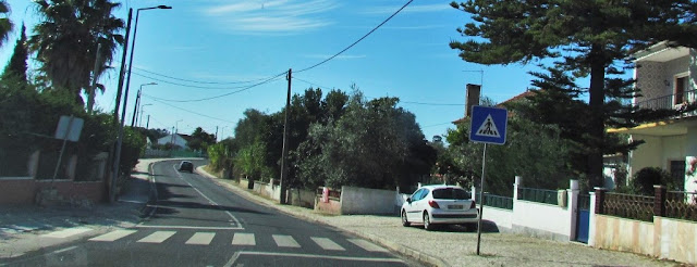
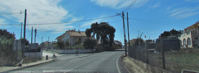
It is crossed by four national roads: the EN 3, between Santarém and Carregado, EN 3-2, between Cruz do Campo and Valada, EN 3-3, between Cartaxo and Reguengo de Valada, and EN 114-2, between Almoster and Setil. The county also has a fast connection between the city and the A1. On the waterways, the county has the Tagus River, which runs through Valada, where there is a river beach.
In road transport, the county has several bus stops and a terminal in the city, in charge of Rodoviária do Tejo. Another service provided to the population is the TUC, Urban Transport of Cartaxo, which serves the city and places around it. In rail transport, the county is served by three stop on the Northern Line: Reguengo, Setil and Santana.
With 148 inhabitants/km², it is the city with the highest population density in the Alentejo.
It is the seat of the municipality of Cartaxo with an area of 158.17 km² and 24 462 inhabitants (2011), divided into 6 parishes (Cartaxo and Vale da Pinta; Ereira and Lapa; Pontével; Valada; Vale da Pedra; Vila Chã de Ourique) .
The municipality is limited to the north by the municipality of Santarém, to the east by Almeirim, to the southeast by Salvaterra de Magos and to the west by Azambuja. It is 65 km from Lisbon and 13 km from Santarem.
It is crossed by four national roads: the EN 3, between Santarém and Carregado, EN 3-2, between Cruz do Campo and Valada, EN 3-3, between Cartaxo and Reguengo de Valada, and EN 114-2, between Almoster and Setil. The county also has a fast connection between the city and the A1. On the waterways, the county has the Tagus River, which runs through Valada, where there is a river beach.
In road transport, the county has several bus stops and a terminal in the city, in charge of Rodoviária do Tejo. Another service provided to the population is the TUC, Urban Transport of Cartaxo, which serves the city and places around it. In rail transport, the county is served by three stop on the Northern Line: Reguengo, Setil and Santana.


💓💓💓💓💓
SEARCH IN ALPHABETICAL ORDER
IN THE DISTRICT OF SANTARÉM


